

 How can a smart city ease our movement in our ever growing urban spaces? Ten years ago global urban populations had already outgrown their rural counterparts. We know this trend will only continue to head upward. With current trends the worlds cities of 2050 are expected to house the global population of today, around 7 billion.
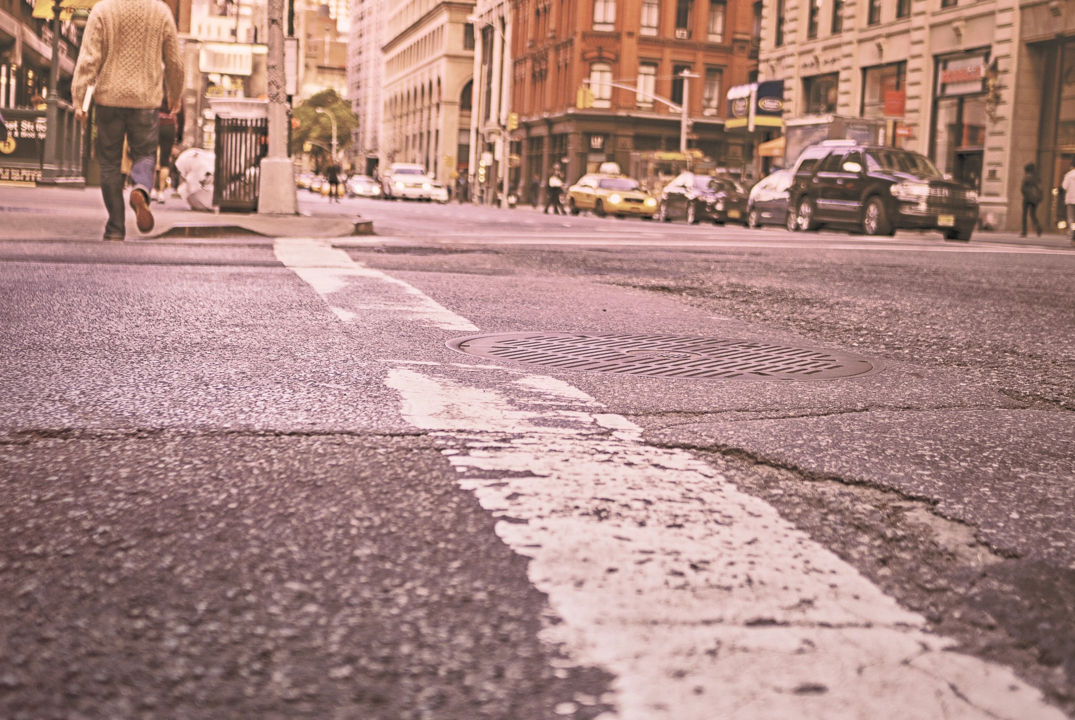
One side effect of this rapid global urbanisation and population growth is that it could create traffic congestion beyond our wildest dreams, increasing pressure on already straining transport networks and infrastructure.
But with technology there are remedies to be had. By integrating modern technologies with our cities, we can make them ‘Smart’, creating travel symphonies rather than cacophonies. We can make getting around cities more than just navigating from A to B. We can create more personalised experiences for citizens moving around a city and help city authorities optimise their asset and resources.
Our movement around cities has been enabled and enhanced over the past few years through apps like Citymapper, Waze and Google Maps. Through their algorithms they help us to better navigate through the city, increase public transport accessibility and boost active travel. With them, we have been able to get to our destinations quicker and even earn points for making more sustainable transport choices.
These algorithms have the potential to change the fabric of our city streets. Waze for example has changed sleepy neighbourhoods into bustling commuter routes. Waze and Citymapper therefore have the ability to increase footfall on certain routes by optimising citizens’ walk, cycle or ride to work. There is an economic benefit as a result, with more people passing through an area more money is being spent along the way.
The collection and publication of travel-related data means that navigating a city is now becoming less about getting from A to B as quickly as possible, and more about taking into account a citizen’s preferences, tapping into the cultural, social, environmental and economic facets of a city. The most informative maps we can have are our own cognitive map. Our minds are full of memories of the great restaurant we went to around the corner, warn us of going down that particular street because of the car pollution or the park by your house for dozing on sunny days. Its because these maps are personalised and designed according to our preferences. Through software development individuals can have a more personalised experience when moving about a city, for example, by choosing to avoid heavily polluted routes, ride along a protected bike lane or looking for a quieter route through the city.
Working to make peoples experiences more informed whilst on the move is something Tenshi have been doing with Trueform recently. With some interesting user-centred results.
Read more here.
Read more about our work with Trueform to empower citizens on the move